Capricorn One is a movie I revisit quite often. Although the plot may seem far-fetched to some, all to real for others, it is a great 70’s thriller and action movie with fantastic stunts. A few years ago I started research and visiting the locations, a few below.
The main house was a relatively easy find. It is located at 12075 Valleyheart Drive in Studio City, California.
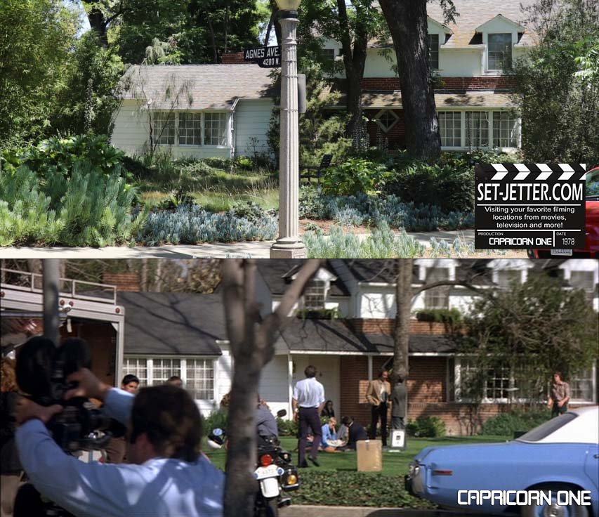
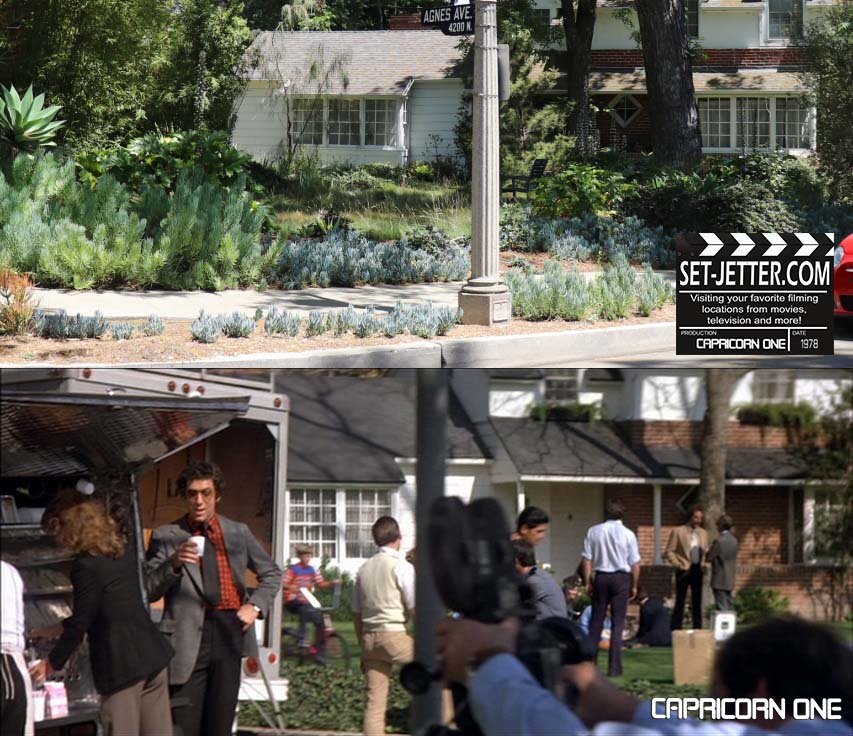
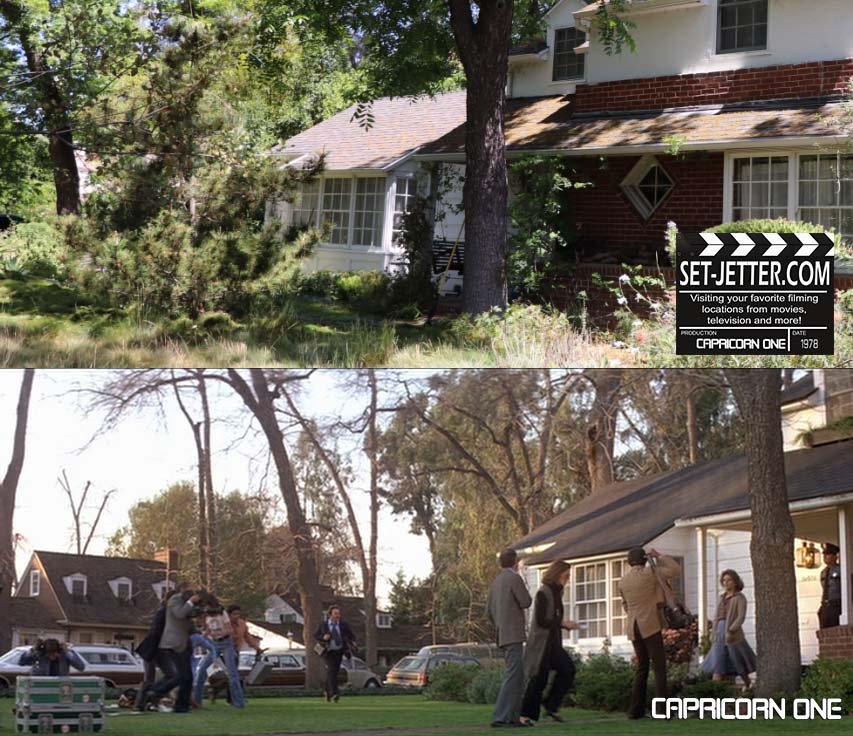
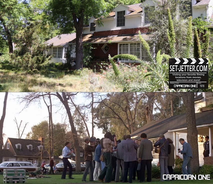
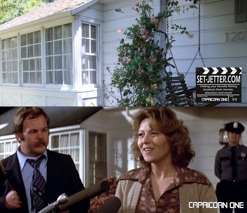
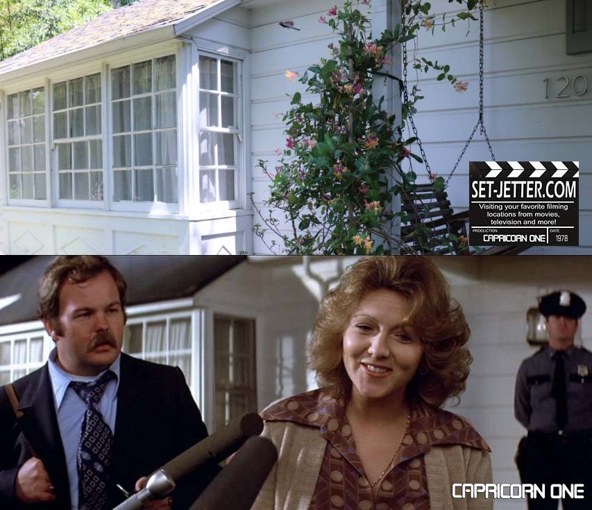
It is used throughout the film…
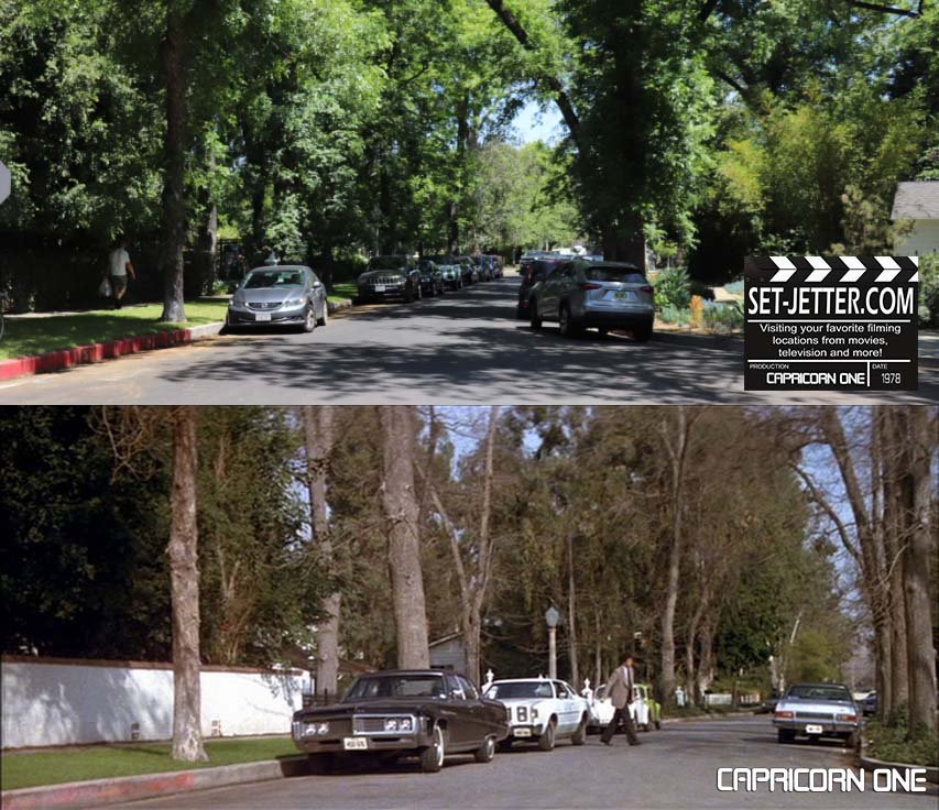
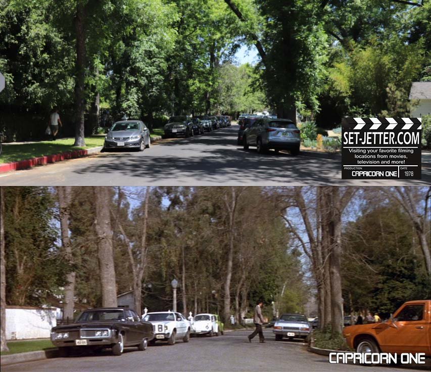
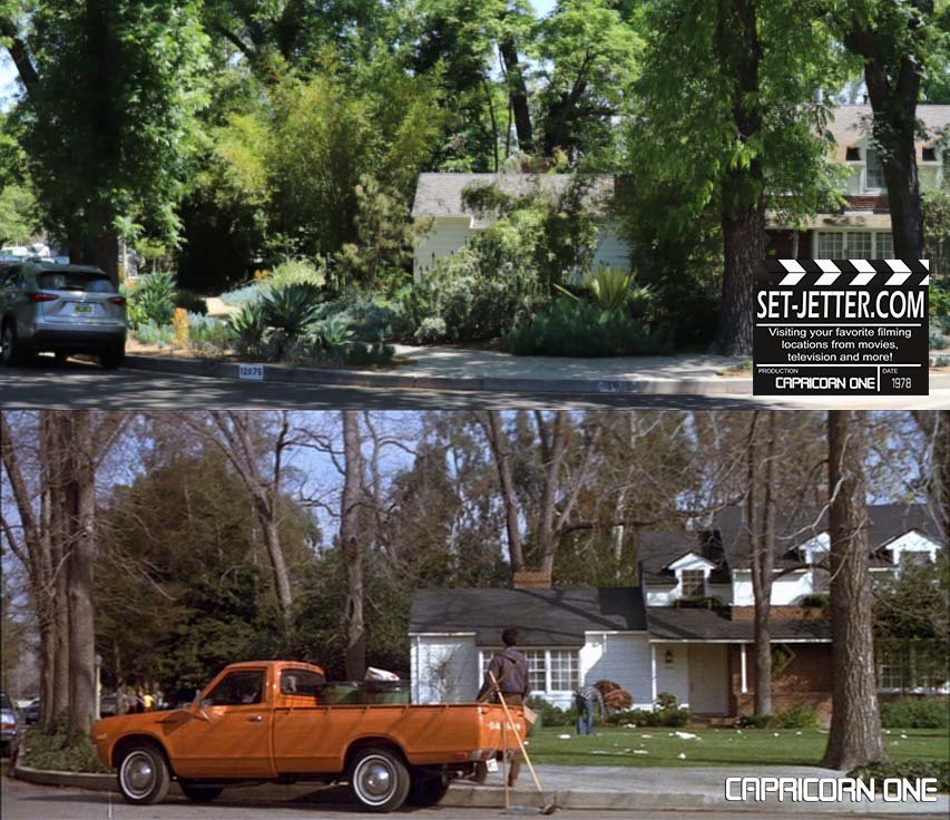
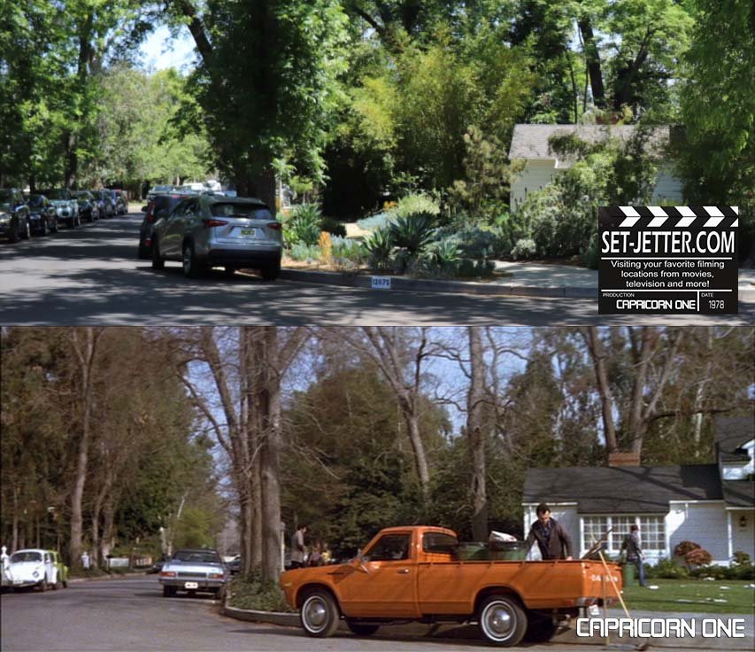
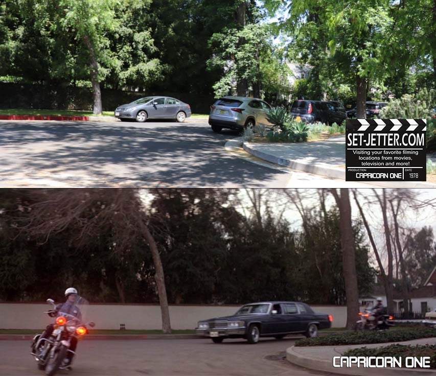
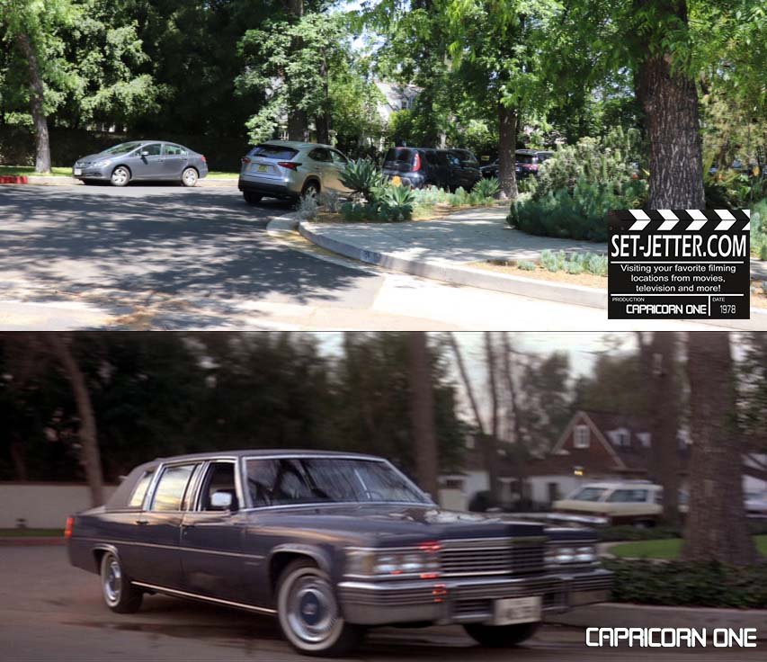
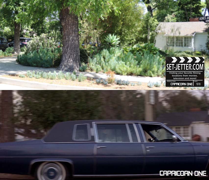
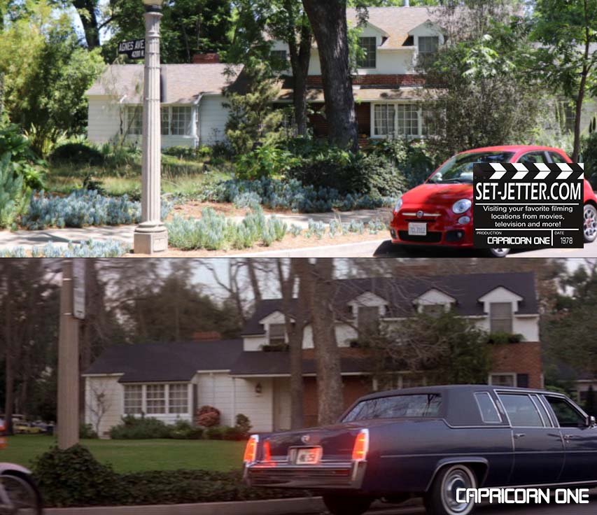
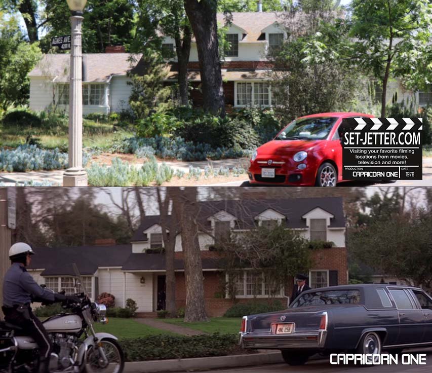
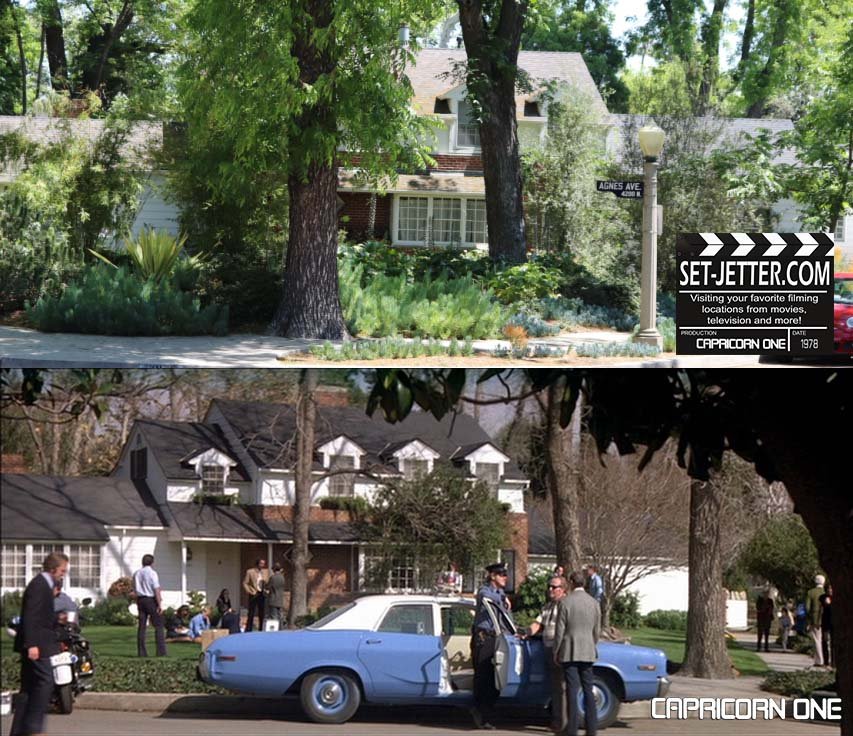
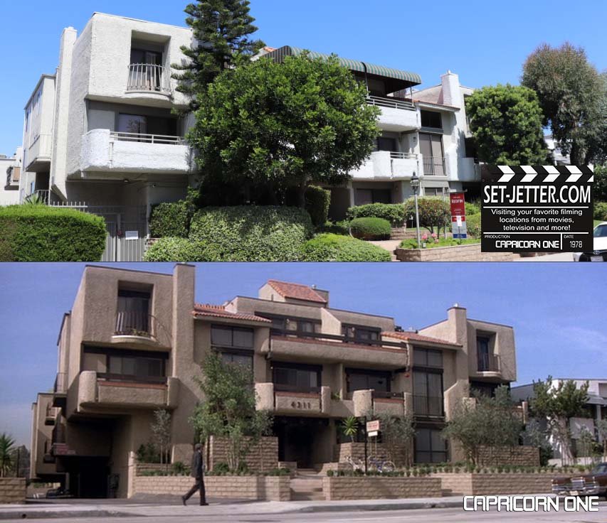
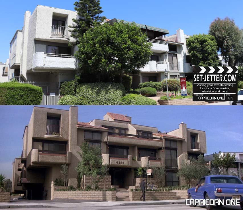
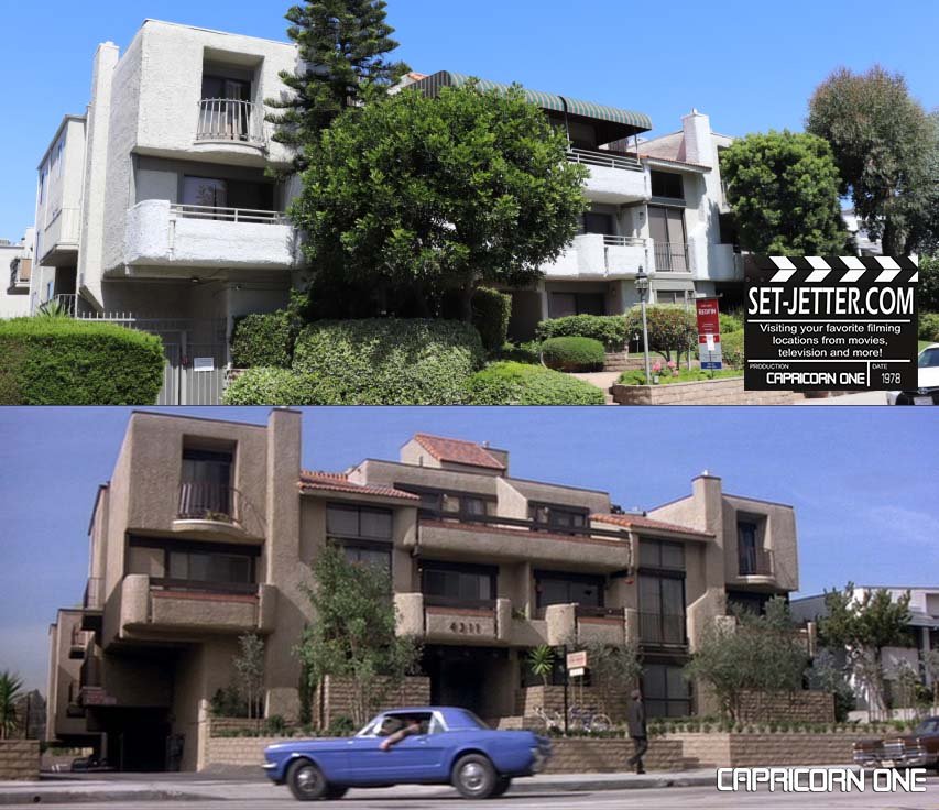
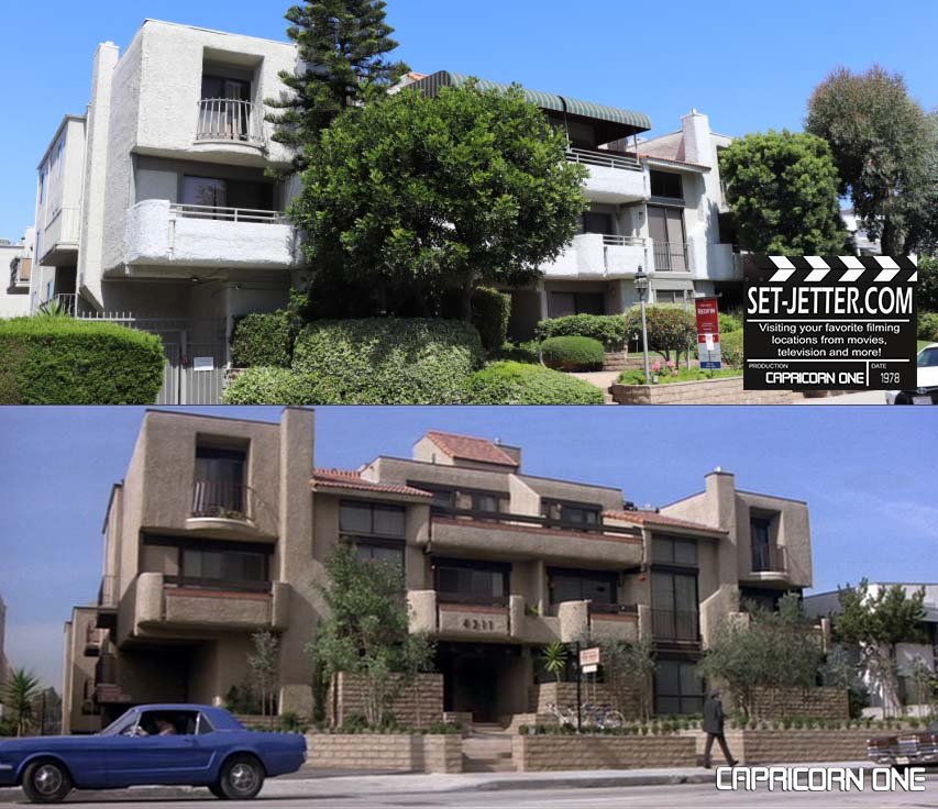
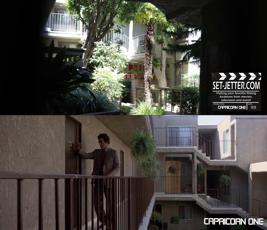
The apartment building is located at 4311 Colfax Avenue, also in Studio City.
Also in Studio is this intersection at Rhodes Avenue & Ventura Boulevard.
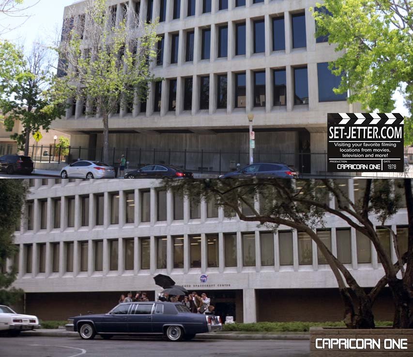
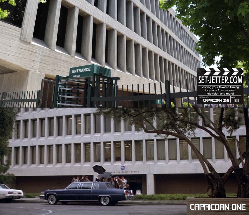
NASA was set at the studio location at the CBS Studio Center at 4024 Radford Avenue in Studio City, best known as the studio for Stab 3 in Scream 3. Production notes list these soundstages where the Mars surface and mission control were created.
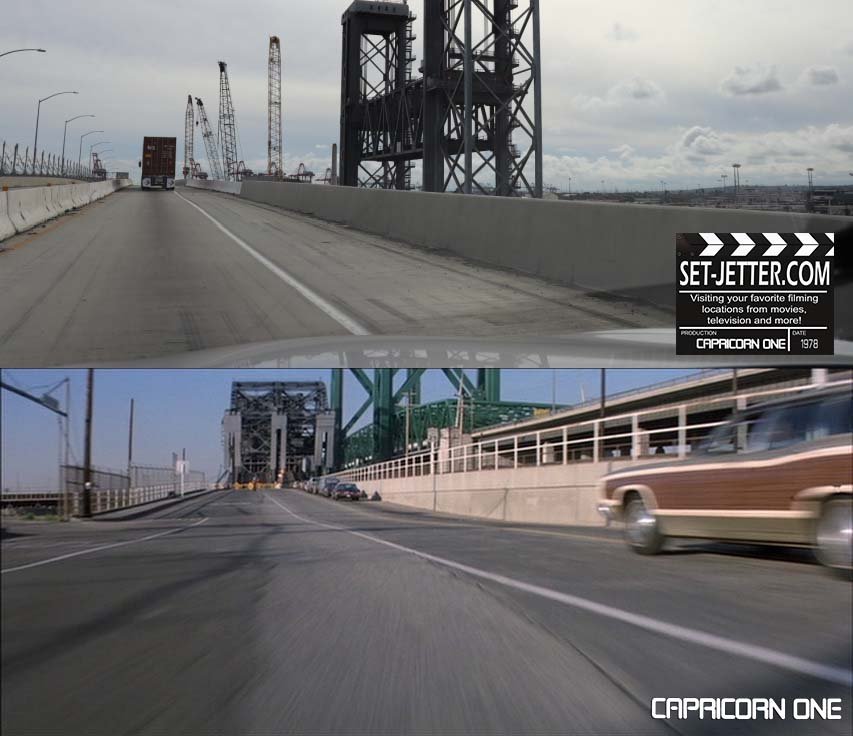
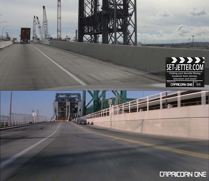
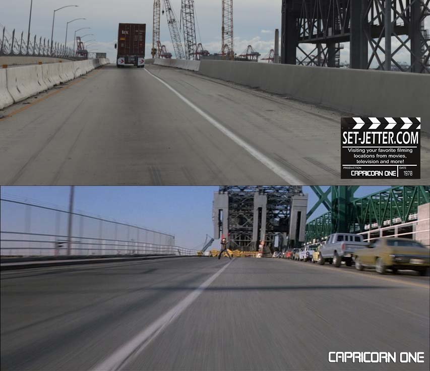
I haven’t ventured to all the Long Beach locations for the “brakes are out” scene (covered by Geek Field Guides) but it ends on this bridge into San Pedro.
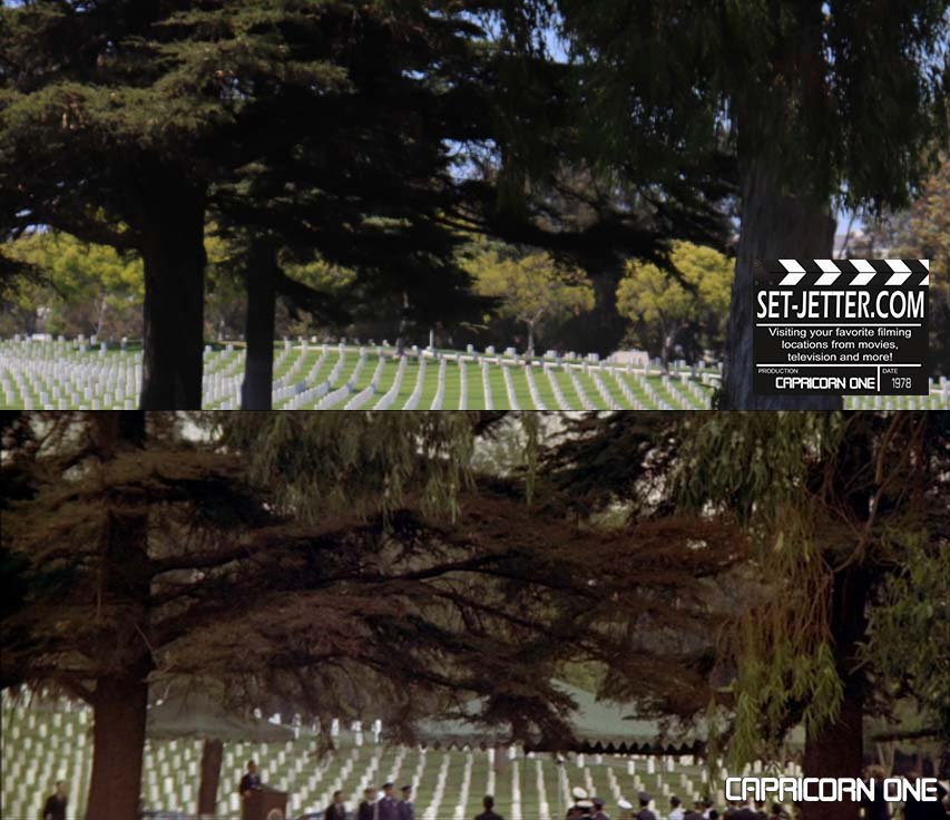
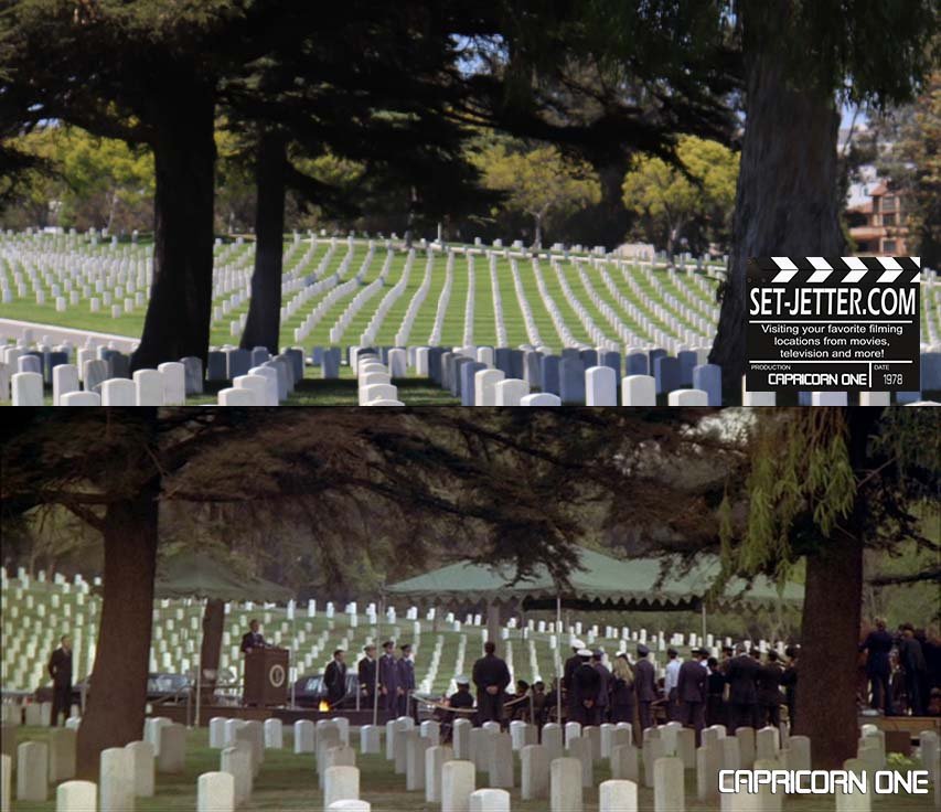
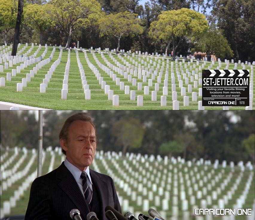
The final scene was shot at the Los Angeles National Cemetery at 950 South Sepulveda Boulevard in Los Angeles. (The funeral was by the corner of Appomattox Drive.)
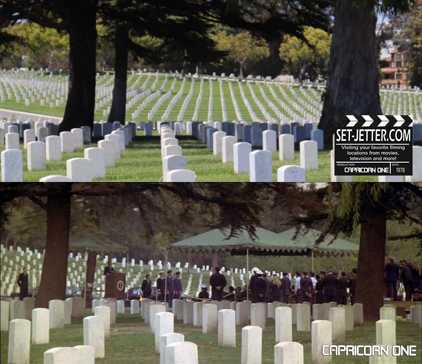
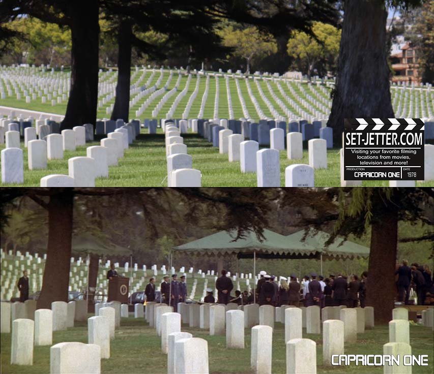
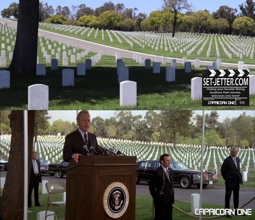
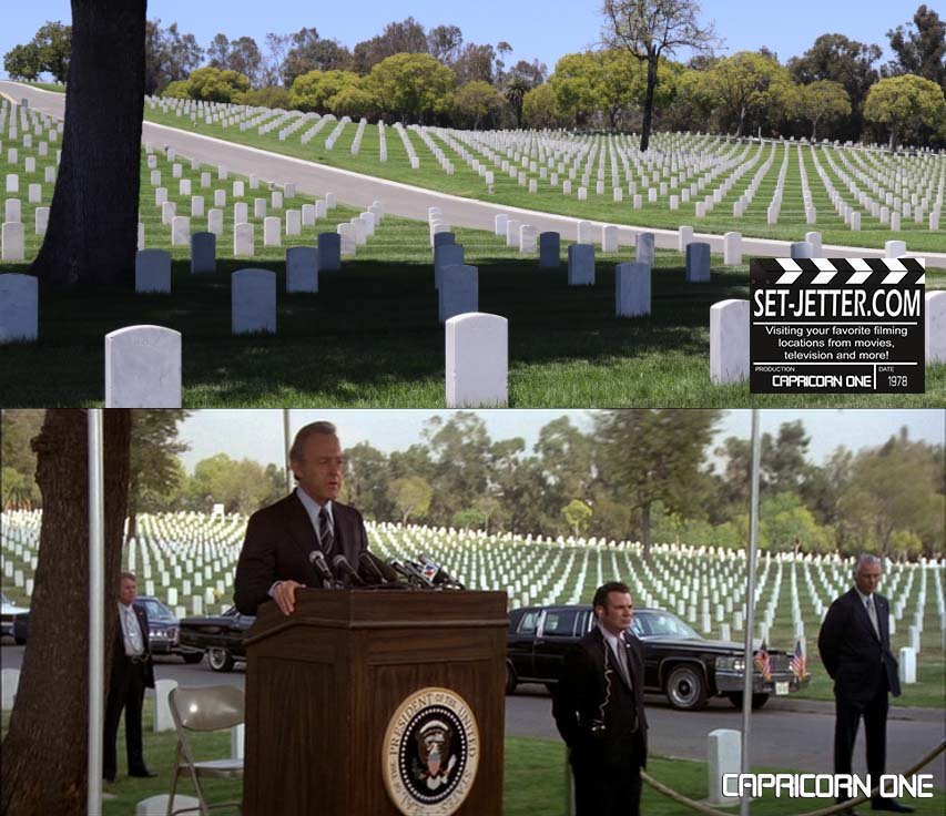
According to the production notes at the time, filming dates were January 3 1977 to February 22 1977. Other locations included Mojave Desert and Red Rock Canyon in California. The shooting schedule planned for the following locations around Los Angeles: Beverly Hills High School, Woodley Park, Compact Video in Burbank, Magnavox City appliance store in West Los Angeles (11026 W Pico Blvd or 11531 Santa Monica Blvd) and the West Los Angeles police station (1653 Purdue Avenue). Other locations on the schedule were Cantil, California, for the crop-dusting barn and field, the airport, fire department and sports arena in California City, CA and Rosamond Lake, White's Cafe and Frontier Liquor in the Mojave Desert.
UPDATE: Thanks to mega-fan John Dickson of SantaBarbara.com, many more locations have been uncovered and visited. Please check out all of his contributions below. Thanks, John!
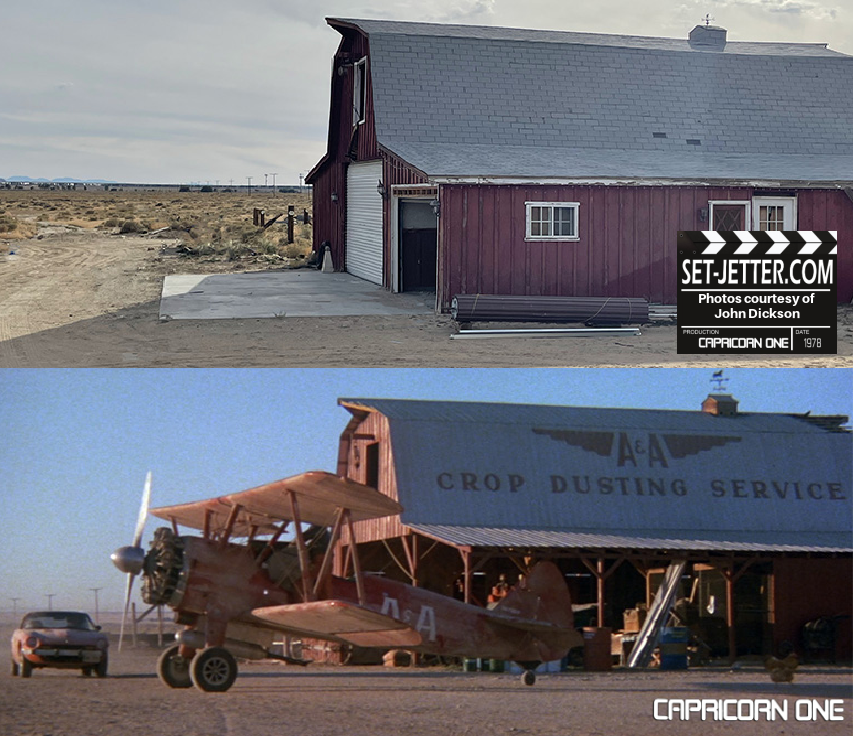
A&A Crop Dusting Service: The barn that was home to the "A&A Crop Dusting Service" where reporter Caufield (Elliott Gould) met pilot Albain (Telly Savalas) is located at 33008 Norton Road, Cantil California. GPS of the barn is: 35.303382, -117.967613. The property is currently owned by Loren Birch whose father bought the 10-acre farm in 1920 for $50. Birch, who built the barn, was on site for filming in the 1970s and met the cast and crew including the astronauts who were not actually in the barn scenes. All the crop duster flying scenes were filmed next to the gas station, with the bi-plane hoisted on to a mount to appear to be airborne. The ranch and barn are now home to the hugely popular Mojave Off Road Adventures, located online at mojaveoffroadadventures.com.

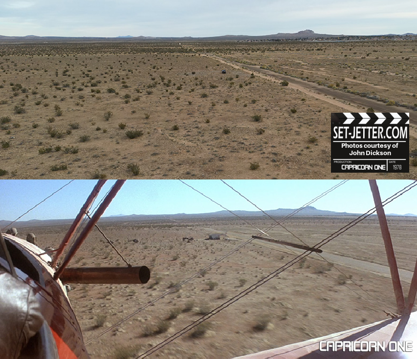
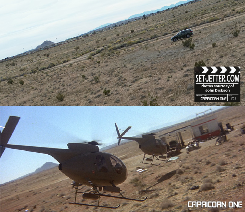
Gas Station: The site of the “Lion Oil Company” gas station is located on Lindbergh Boulevard in California City, California, 1/3rd of a mile east of Neuralia Road. The exact location is GPS: 35.147968, -117.980269. When viewed from satellite there appears to be a scar in the desert where the gas station was. This is actually gravel left over from the set. When dismantling the gas station, the film crew took everything away but the gravel that had been poured on the ground all around the station. If you want a take a piece of actual Capricorn One on-camera memorabilia home with you, visit the site of the gas station. The nearby spot Brubaker wakes up with a scorpion on his face (before stumbling to the gas station) is GPS: 35.146695, -117.980853. This exact spot was confirmed via an online documentary of the filming of the Capricorn One scorpion and gas station scenes.


Grandstand: The grandstand where the vice-president watched the rocket launch is actually Devonshire Downs horse racing track in Northridge, California. Devonshire Downs later became a venue for concerts and other events, including rodeos. The structure is now gone.

Jackson Army Air Base: Capricorn One's mysterious "Jackson Army Air Base" is a half-mile from Mojave Airport in Mojave, California. The hangar used for exterior scenes of the Mars hangar is still there. The exterior has been remodeled (it needed it) and it is now named the "Stuart O Witt Event Center" and is located at 1247 Poole Street, Mojave, CA 93501. The three abandoned barracks next to the Mars hangar are gone and all that is left of them are concrete slabs and the fire hydrant that was visible in the movie. Old satellite images suggest the dilapidated barracks were still there in the 1980s and were gone by the 1990s.


Jet Landing Site: The NASA escape jet skidded on a frontage road next to Highway 14. Jet starts skidding at GPS: 35.175484, -118.085470 and ends at GPS: 35.128808, -118.175445. Obviously, it was on wheels or something, but this is where it was. The place where the jet actually came to rest, and where the astronauts marched into the desert, was actually 5 miles from the skid area (in the opposite direction of the skid) and is located at GPS: 35.211287, -118.007635. The location is just off of Dodson Avenue in California City, California. Unfortunately, you can't walk to this exact spot anymore because it is now in the middle of a solar energy farm that is fenced off. The closest spot you can drive to is on Dodson Avenue which is only 1/10th of a mile away from the jet landing site. FYI, astronaut Brubaker (James Brolin) headed north, not west as mentioned in the movie.

Astronaut Walker capture: Astronaut Walker (OJ Simpson) stumbled into a dry creek bed just before he was captured and the exact location is GPS: 35.376536, -117.974900. The spot where Walker sat down and launched his flare is a few yards downstream from the above GPS. There is a path to this creek bed that begins from a pull-out off of Highway 14 located at GPS: 35.377142, -117.980523. The path takes you to a trailhead and the dry creek bed. Walk the creek bed not the trail. The cliff that astronaut Willis climbed, and was subsequently captured is near the Walker capture site and uses the same highway pull-out to access it. You cannot walk the creek bed all the way to the cliffs where Willis was captured because there is a steep drop off in the dry creek bed at one point. You need to take the official trail to the cliff which parallels the creek bed.
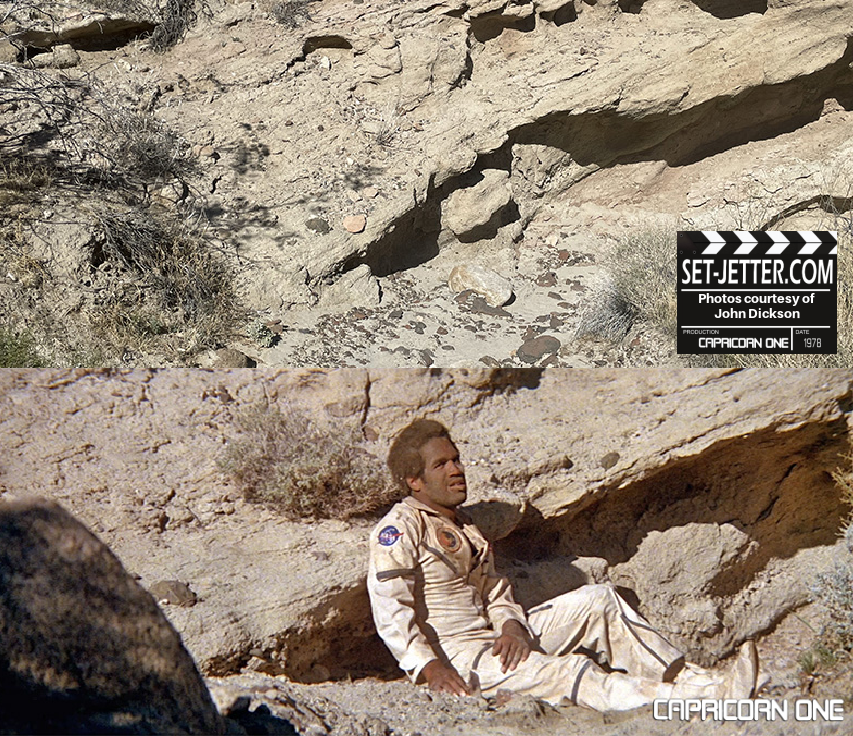

Astronaut Willis capture: The cliff that astronaut Willis (Sam Waterson) climbed is at GPS: 35.375879, -117.969475. There are similar cliffs nearby but this is the one used. There is an official trail to this cliff that begins from a pull-out located at GPS: 35.377142, -117.980523. These cliffs and the astronaut Walker capture site are right near each other and use the same highway pull-out to access it.


